
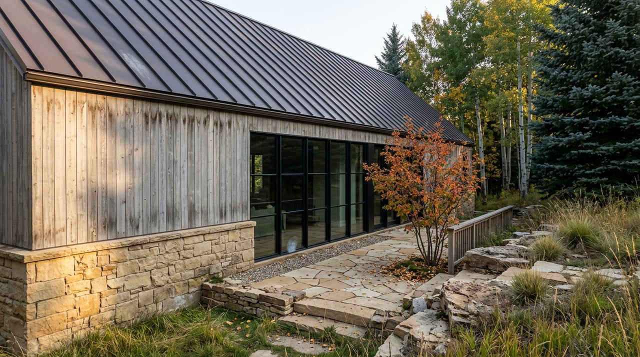
Which way did you turn out of your driveway this week? If you went up Smuggler, you probably noticed it already. The road felt as dry as August, and more than a few aspens along the way had already gone the color of a paper bag. If you turned the other direction toward Hunter Creek, the story was different. Green in the low canopy, gold just starting at the meadow line, creek still running loud enough to hear from the trail.
That split is not random. It is the same drought playing out two different ways on two sides of the same valley, and it means the neighborhood's usual fall routine needs a small adjustment this year.
Two Flanks, One Valley
Red Mountain Road sits beside two landmarks that anchor most of the walking and biking routes locals actually use: Smuggler Mountain on one flank and the Hunter Creek drainage climbing up between Red Mountain and Smuggler itself on the other. Both are a few minutes from the driveway. Neither behaves the same way in a dry year.
Smuggler Mountain Road is the neighborhood's default quick workout, the lower mile and a half graded and open, climbing to the viewing platform at roughly 8,800 feet. It is also, by the account of nearly everyone who has hiked it, a dirt road with no real shade. That exposure is exactly the kind of stress point the Aspen Center for Environmental Studies has been flagging this season.
Hunter Creek runs the opposite way. The first mile climbs over 700 feet, but it does it alongside running water, under a mixed canopy of cottonwood and aspen that keeps the trail shaded well into the afternoon. The loop ACES maps between the two mountains, the Hunter-Smuggler route, starts at about 7,850 feet and tops out near 8,950, threading through wildflower meadows nestled between the two peaks before dropping back into town.
Here is how those two microclimates are reading right now:
| Route | Elevation range | Exposure | What this season is doing to it |
|---|---|---|---|
| Smuggler Mountain Road (lower 1.5 mi) | ~7,900–8,800 ft | Full sun, no tree cover | Early color, early leaf drop |
| Hunter Creek Trail (lower/upper) | ~7,850–8,950 ft | Creek-shaded, mixed canopy | Slower to turn, holding longer |
| Red Mountain Road extension toward Van Horn Park | ~8,600–9,900 ft | High, cooler, mixed sun and shade | Should be the last to lose color |
Why the Same Storm Hits Each Slope Differently
None of this is guesswork. Adam McCurdy, the forest and climate director at ACES, told the Aspen Times last month that what the valley is seeing is not the usual autumn. Drought-stressed trees are not shutting down in the slow, orderly way aspens typically do. They are shedding leaves early to conserve water.
"This isn't the normal, prolonged and orderly shutdown that trees typically go through in the fall," McCurdy said.
That distinction matters for anyone deciding where to walk this week. A tree under water stress on an exposed south-facing road like Smuggler is working harder, in more direct sun, with less moisture retained in the soil. A tree in the Hunter Creek drainage, shaded for much of the day and closer to running water, is under less pressure and has more reason to hold its leaves the way it would in a normal year.
There is a second factor compounding this. Spring leaf-out across the valley happened earlier than usual this year too, which means the whole growing season for these trees has been compressed from both ends. Combined with a fall peak that OpenSnow meteorologist Alan Smith placed at roughly September 16 through 30 for the Aspen area, the neighborhood is looking at a shorter window than most years, not just an earlier one.
The Loop That Lets You Compare Both
If you want to see the difference yourself rather than take a forecast's word for it, the Lani White and Hunter Valley Loop does the comparison for you in a single outing. It is the same 5.3-mile loop regardless of direction, but hikers who take it clockwise spend the climb in full sun on the Smuggler side and the descent in shade through Hunter Creek. Go counterclockwise and you get the reverse, shaded climb first, exposed return second.
Given what is happening to the trees this year, counterclockwise is the better call if color is the point of the walk. You climb through the cooler, better-hydrated stands first, while they still have something to show, and you save the drier, more exposed stretch for the way down when the light is better for photos anyway.
The One Stretch That Should Outlast the Rest
If the goal is simply to find the last good color in the neighborhood before the season is over, the answer is not a trail most people think to use. It is Red Mountain Road itself, the unpaved continuation past the pavement that climbs from around 8,600 feet toward Four Corners and Van Horn Park, brushing close to 9,900 feet before it tops out.
That is squarely in the range McCurdy pointed to when he told the Aspen Times the best remaining color this year would be at higher elevations and on north-facing slopes, the places where trees are under the least drought stress. It is also dog-friendly and quiet, more a working forest road than a destination trail, which means fewer people are thinking to use it for exactly this purpose.
One practical note if you are driving rather than walking to reach the upper trailhead system: access to the Hunter Creek Valley and its upper parking lot is not just convention, it runs through an actual Board of County Commissioners ordinance, and parking rules there are enforced accordingly. It is worth checking current signage before you go, especially later in the season when hunting-related access rules can also apply.
What This Means for the Next Two Weeks
The valley is heading into the part of September where the color question actually gets answered, not forecast. A few things are worth keeping in mind if you want to time it well from home:
- If your usual route is the Smuggler Mountain loop, expect it to look more like late fall than early fall already. That side of the mountain took the brunt of the dry summer.
- If you have been putting off the Hunter Creek side because it is a longer climb, this is the year it pays off. The creek corridor is buying those trees more time than the open road gets.
- If you want the best odds of real color with the least effort, the upper stretch of Red Mountain Road itself, past where most people stop, is probably going to be showing something worth seeing after the lower trails have already gone bare.
There is also a small piece of good news buried in the forecast. Smith's outlook for September flagged a chance of cooler, cloudier, more unsettled conditions moving into the valley, which would ease some of the water stress driving the early drop. It will not undo a dry summer, but it could stretch the window a few days longer than the driest-case scenario suggested back in August.
None of this changes anything about the neighborhood itself. It is still the same short walk from the driveway to real wilderness that has always made Red Mountain Road what it is. It just means paying a little more attention this particular September to which side of the valley you are walking into, because this year, for the first time in a while, the two sides are not telling the same story.
If you are weighing a move to this part of Aspen, or thinking about what a home here actually lives like week to week, not just in July but in a dry September like this one, Joshua Landis is a good person to talk to. Let's connect.
This article is general information, not legal, tax or financial advice. Consult a qualified professional about your situation.