
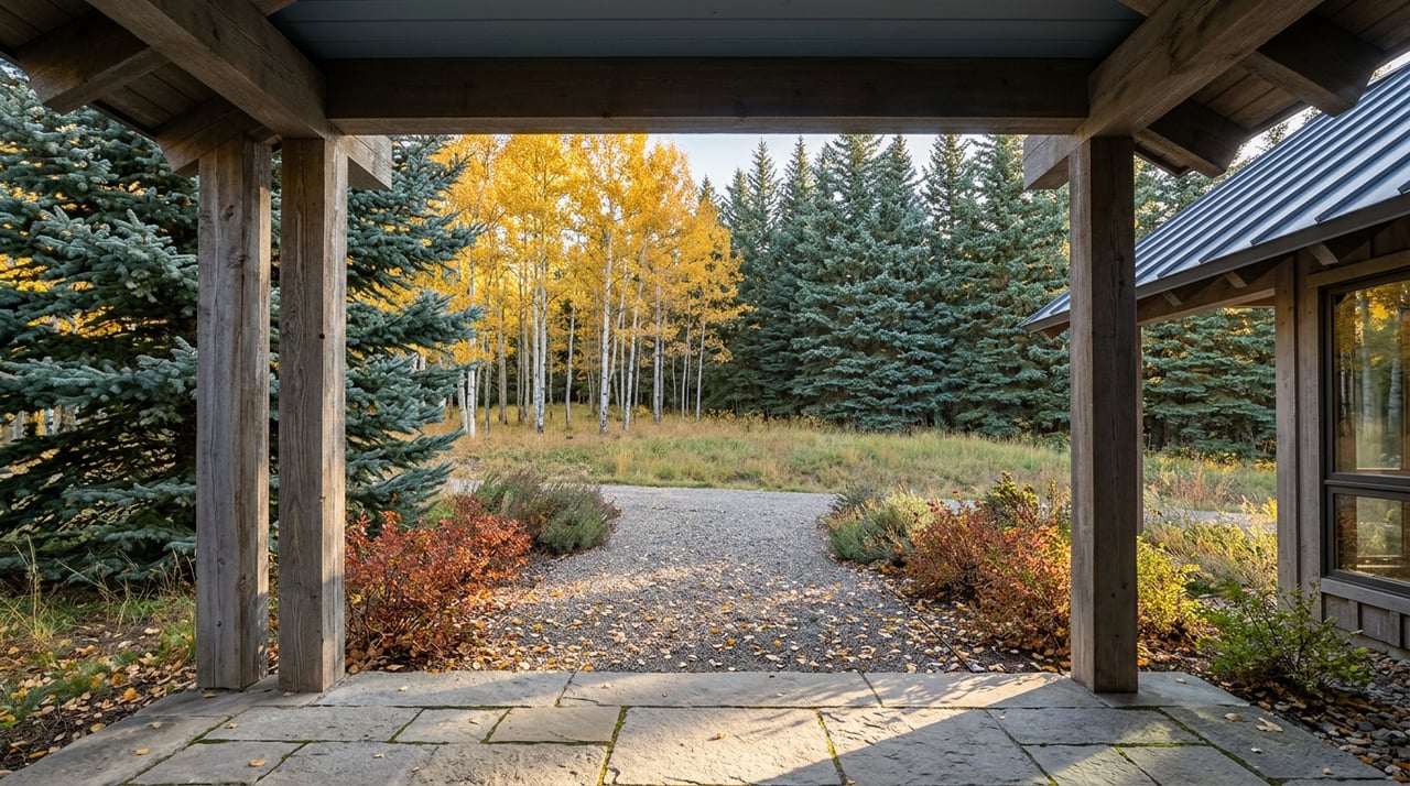
Every September, the Maroon Bells shuttle system fills its morning slots weeks out, and half the valley plans its foliage viewing around whether a reservation exists for a given hour. West Aspen skips that calendar entirely. The gold groves that define this stretch of the valley start at a trailhead most residents walk past without a second thought, and none of it requires a ticket, a shuttle, or a drive.
That trailhead sits at Tiehack, the eastern end of Government Trail, where a pedestrian bridge over Maroon Creek is the only thing standing between a residential street and roughly six and a half miles of singletrack running west toward Snowmass. Cross the bridge, climb a set of switchbacks, and the trail alternates between working ski runs and dense stands of aspen before settling into rolling terrain through lodgepole pine and open meadow. Locals treat mid-September as the ideal window to hike it, not because the color has peaked yet, but because the trail is still dry, the crowds haven't found it, and the groves are just starting to turn.
That's the part worth sitting with. The neighborhood that shows up in market conversations as an Owl Creek corridor with airport-adjacent pricing also happens to be the only entry point in the valley where a resident can walk out the front door, cross one bridge, and be standing inside an aspen grove on foot. No other trailhead into this color corridor works that way.
Three Trails, Three Different Mornings
Government Trail isn't the only option from this side of the mountain, and the three routes that start here don't overlap much in character. A short comparison makes the difference clear:
| Trail | Distance | Character | Access point |
|---|---|---|---|
| Government Trail (Tiehack side) | About 6.5 miles one-way toward Snowmass | Aspen groves alternating with ski runs, one sustained climb, a few stream crossings | Maroon Creek pedestrian bridge at Tiehack |
| Buttermilk Mountain Trail | 7.6-mile loop, 1,991 feet of gain | Open year-round, moderate climb to a summit bench, popular with birders as well as hikers | Buttermilk Ski Area parking lot |
| Oregon Trail | Connector route | Aspen groves along Buttermilk's western flank, ends at the summer work road | Reachable from the Buttermilk base or from Government Trail partway up |
Government Trail rewards someone who wants a point-to-point outing and doesn't mind arranging a ride back. Buttermilk Mountain Trail is the loop for a resident who wants the same elevation gain without needing a second car, and it's open every month of the year, which matters if a household is deciding which trail becomes the default rather than the special occasion. Oregon Trail is the short version, the one a person takes when they have forty-five minutes before dinner and just want to stand under gold branches for a while.
The Maroon Bells require a plan. Government Trail requires a bridge crossing.
The Stop Nobody Skips
Ride or hike the Buttermilk summer work road on the loop that eventually ties back into Government Trail, and you'll pass the Cliffhouse, a restaurant sitting partway up the mountain with a clear view down the glacially carved Maroon Creek valley toward Pyramid Peak. It's less a destination than a natural pause point, the spot where the climb levels out enough to actually look at what's around instead of just the trail in front of you.
Back down at the base, the Inn at Aspen runs a barbecue restaurant that sits right at the Buttermilk parking area, close enough to the Tiehack trailhead that it functions as the unofficial finish line for anyone who started at Government Trail's eastern end. It's a small detail, but it's the kind of thing that separates a trail system a neighborhood actually uses from one that just shows up on a map.
Getting Home Without the Car
The trail network connects to a paved bike path that runs from the Aspen Airport Business Center to the Highway 82 bridge over Castle Creek, and from there a rider has options rather than a single route back into town. Departure points along the way include:
- The Cemetery Lane bike path
- The Aspen Golf Club municipal course
- Truscott Apartments
- Maroon Creek Club
- Buttermilk base area
- Owl Creek bike path
From the bridge, the path continues either toward Marolt Open Space and Hopkins Avenue, or via Hallam Street into the West End. Most people hike Government Trail starting from Snowmass and finishing at Tiehack, which means the point-to-point option ends right back at this neighborhood's edge rather than stranding anyone across the valley. From that Tiehack finish, the Maroon Creek pedestrian bridge leads to the Aspen Recreation Center, where an RFTA bus runs to Rubey Park downtown. No car shuttle to arrange on either end.
The Next Three Weeks
Right now, in early September, most of these groves are still green with just the first edges starting to turn. That changes fast. The stretch of Government Trail and Oregon Trail running through Buttermilk typically hits its most vivid color in the last week of September and the first week of October, the same window locals have learned to treat as non-negotiable for a weekday evening hike rather than something to squeeze in on a weekend.
Buttermilk Mountain Trail allows dogs off-leash in sections, which matters for a neighborhood where a walk with the dog and a fall color hike are often the same errand. It's a detail that doesn't show up in any tourist guide to the Bells, because it isn't written for someone driving in from out of town. It's written for someone who already lives close enough to make the trail part of a Tuesday, not a Tuesday off.
That's the actual difference this fall. Somewhere else in the valley, seeing these colors means checking a shuttle schedule and hoping a slot opens up. Here, it means checking the weather.
If West Aspen's trail access is one of the reasons this address feels different from the rest of the valley, Joshua Landis would enjoy hearing which route you take when the groves turn. Let's connect.